Sample Imagery HRIT/EMWIN
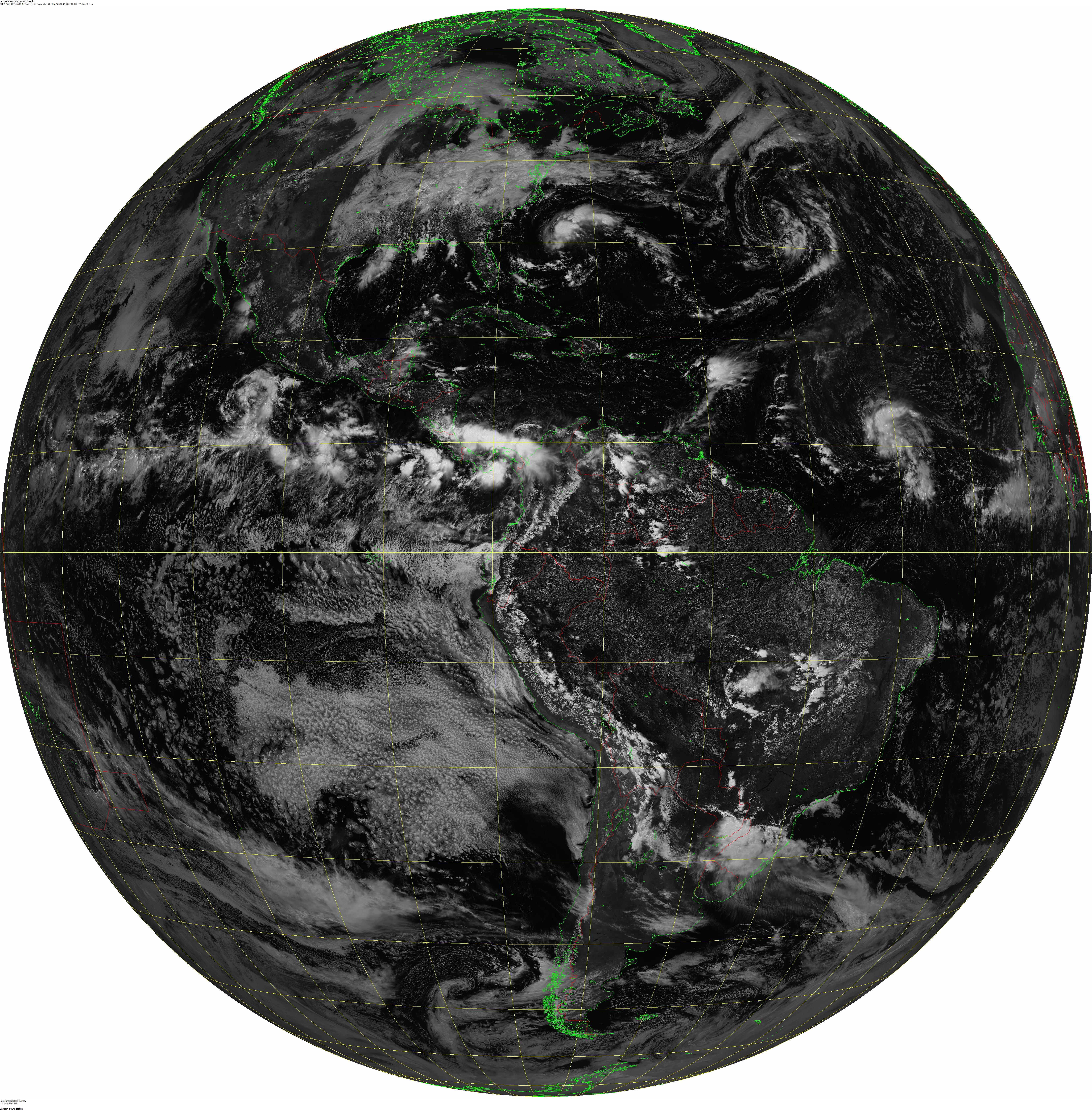
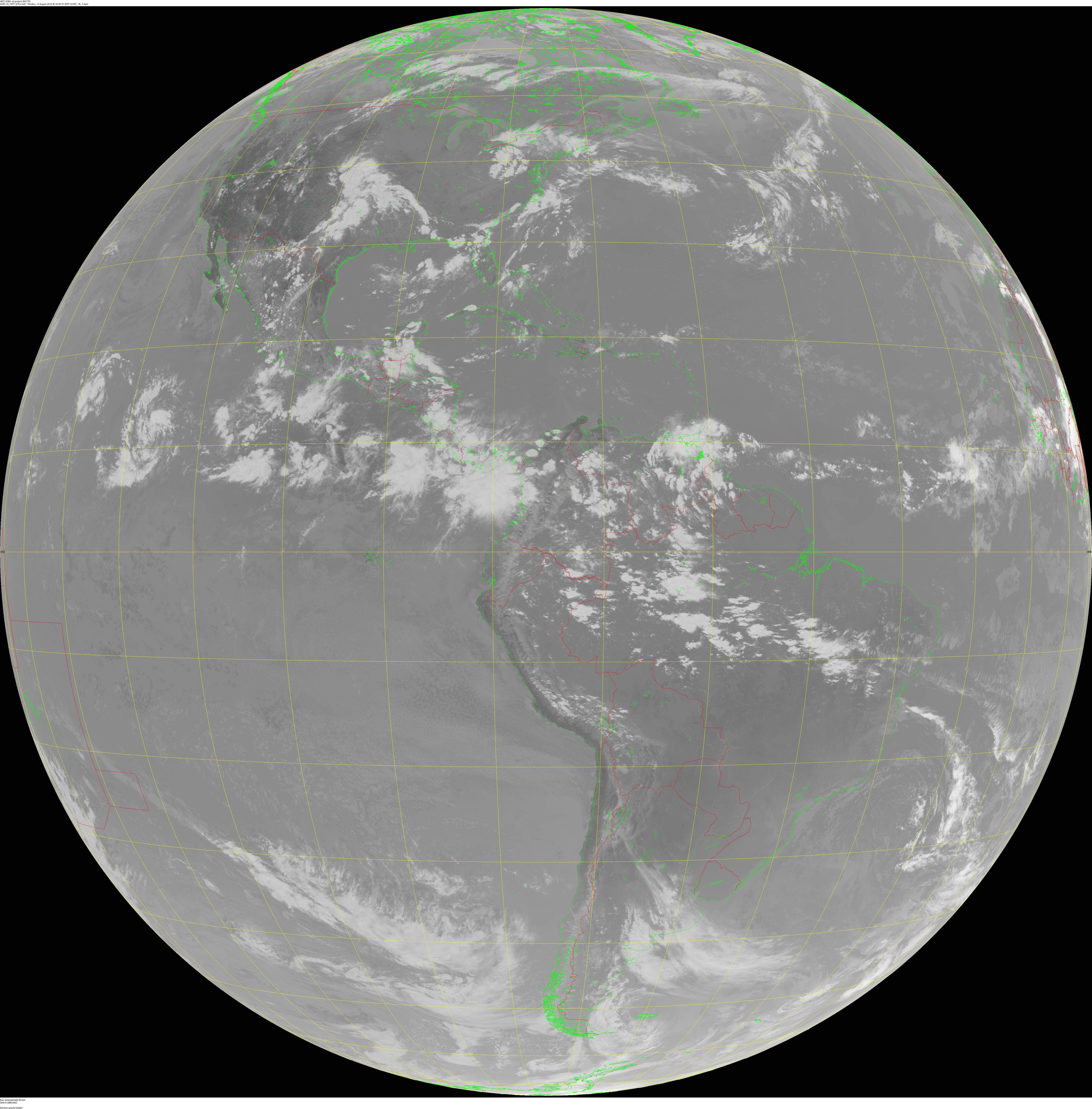
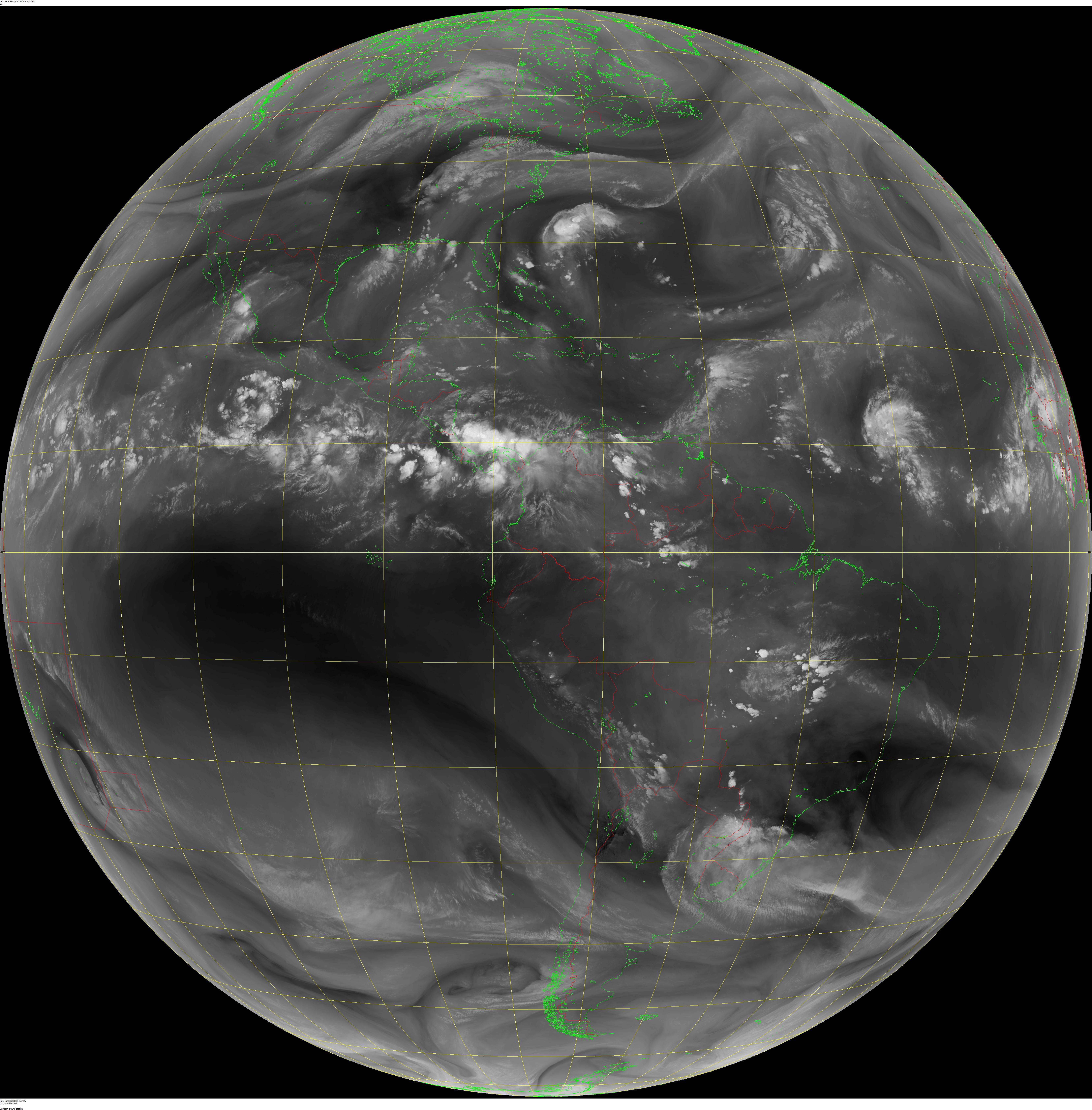
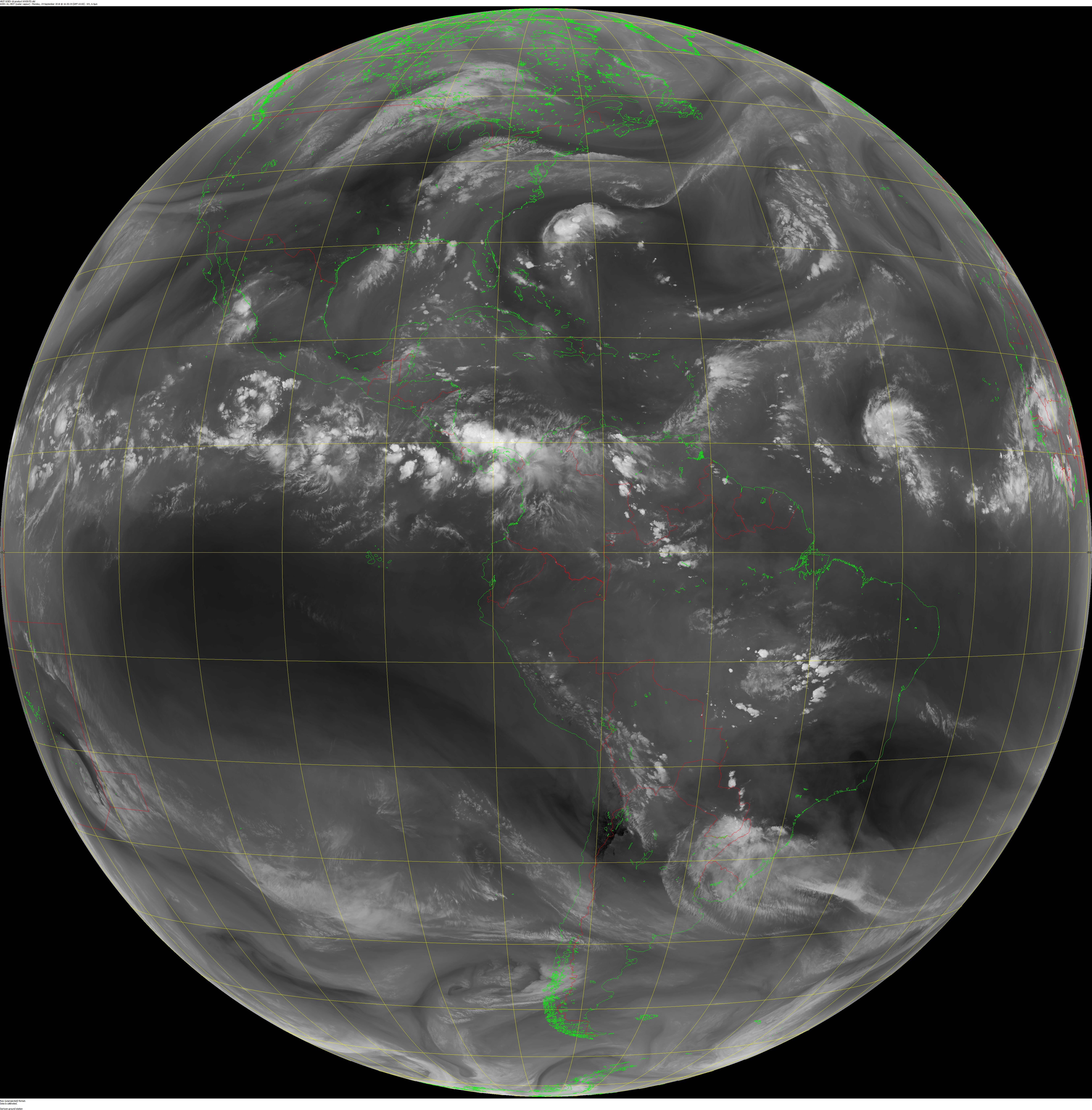
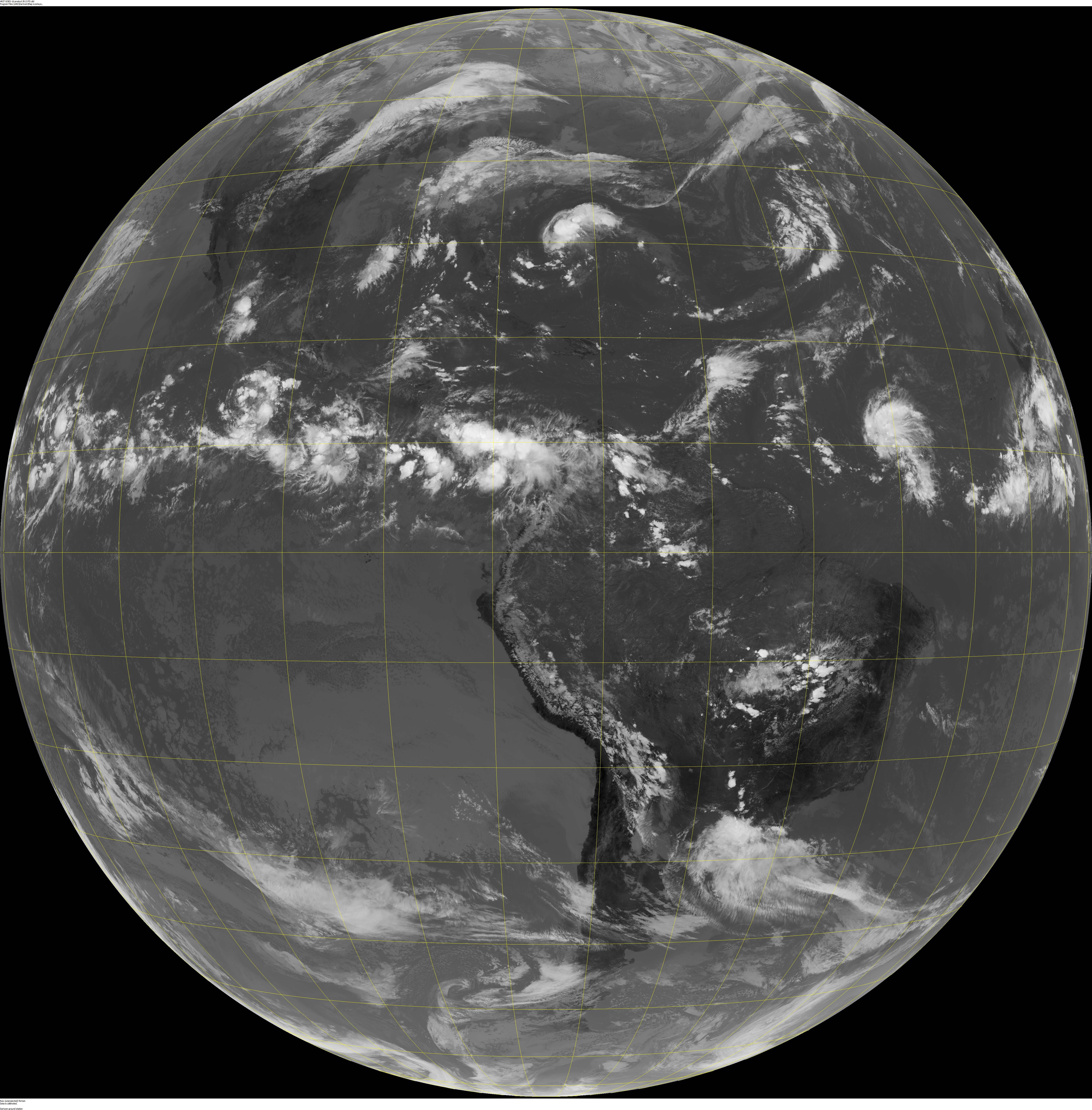
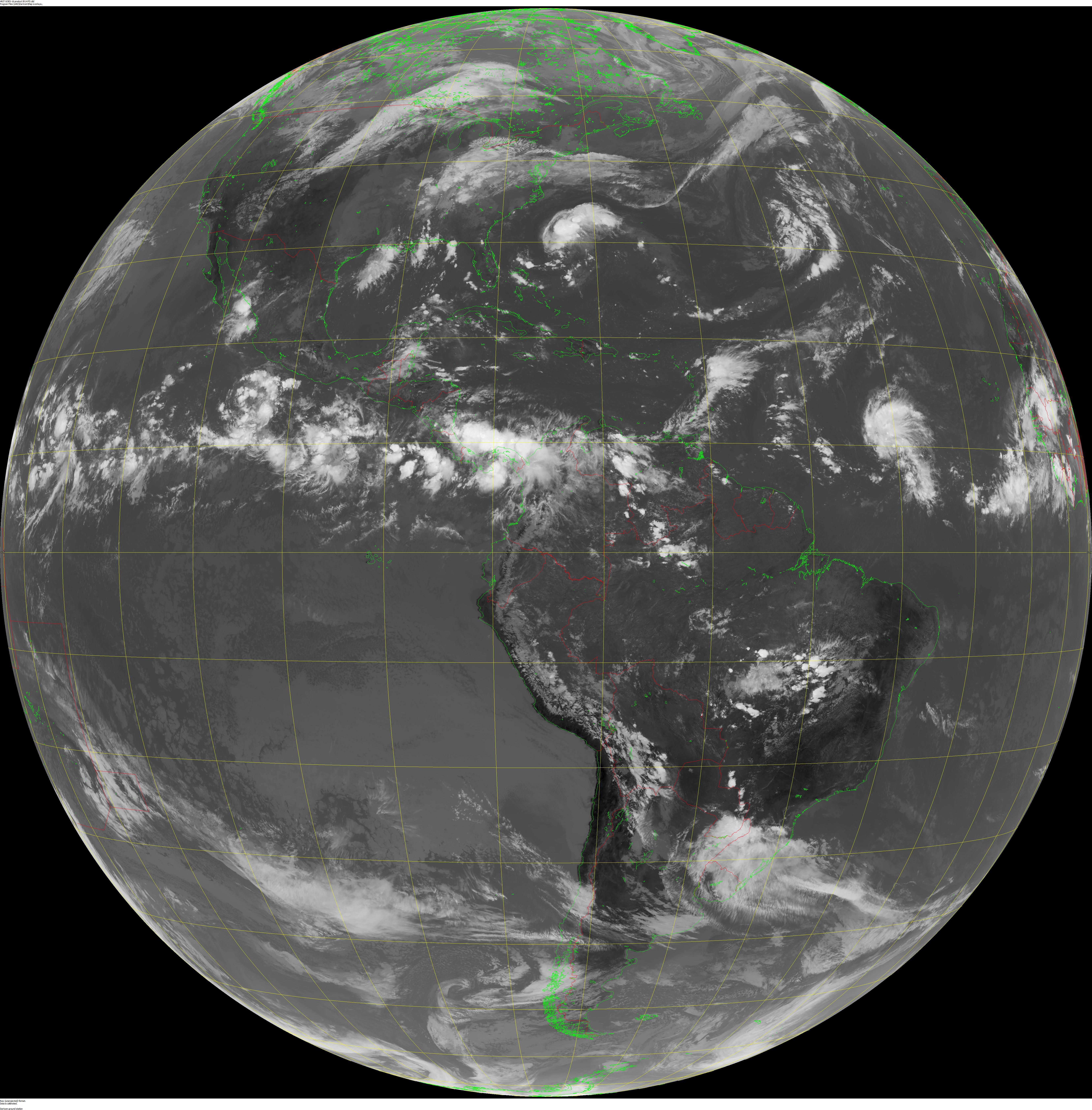
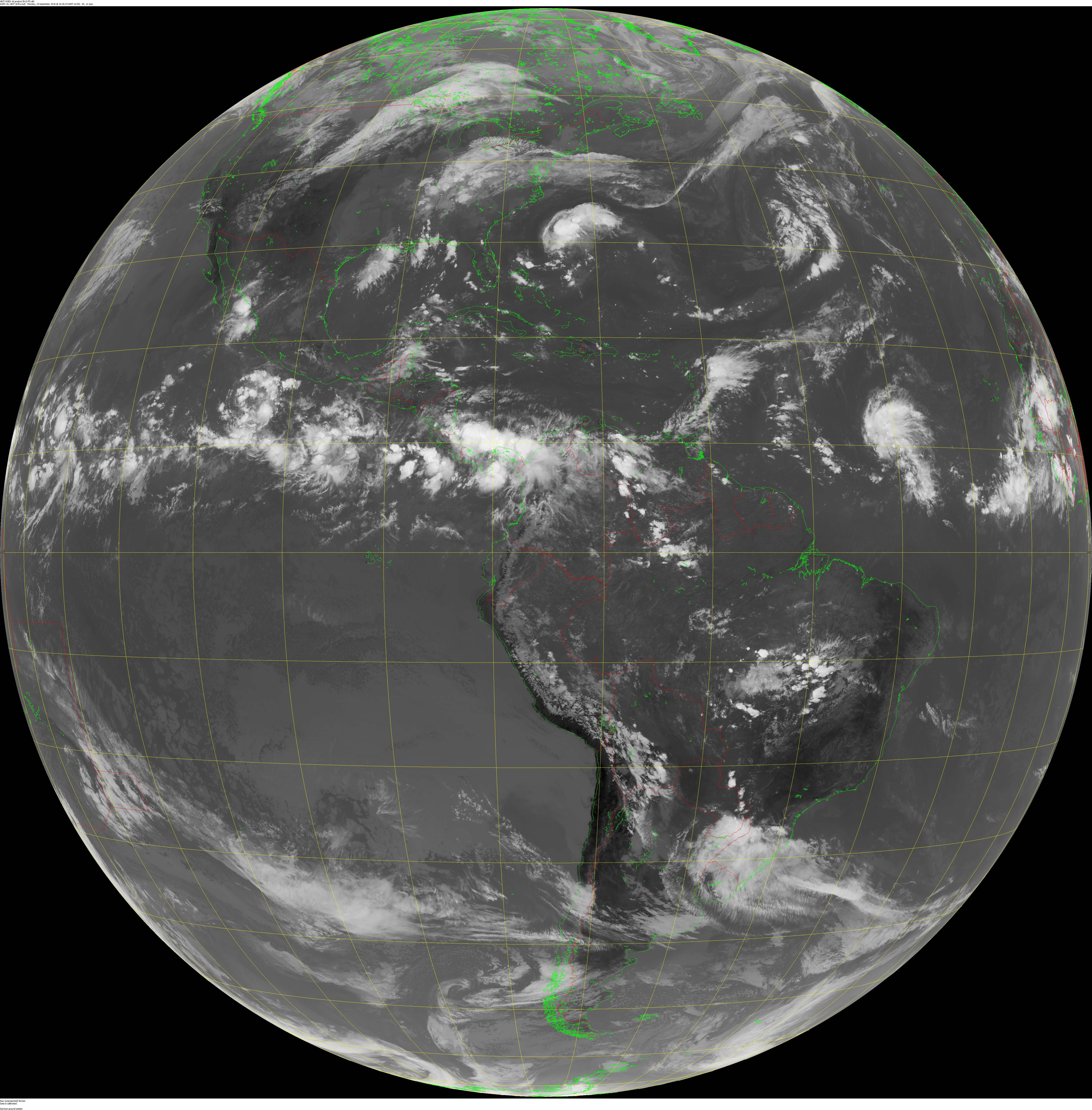
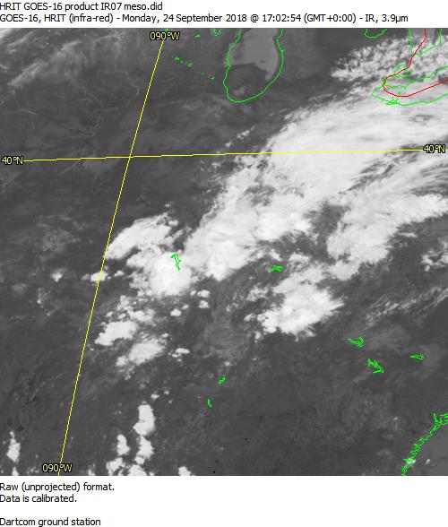
The following HRIT/EMWIN test data files in the HRIT/LRIT Format are provided for GOES-R Series Satellites. GOES-16 is currently the operational East satellite at 75.2° west, while GOES-17 is the operational West satellite at 137.2° west.
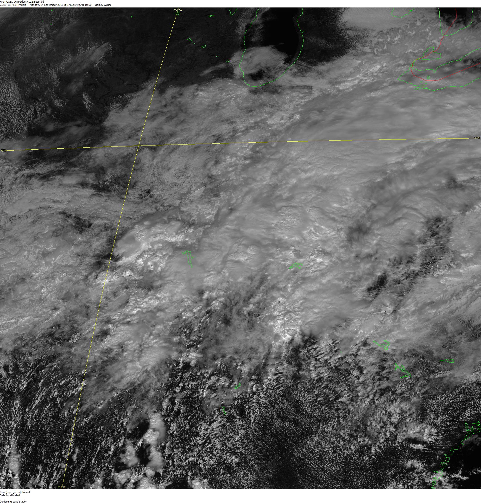
GOES-16 and 17 have the Advanced Baseline Imager (ABI), which has a total of 16 image bands each. HRIT/EMWIN only carries the following bands in full disk sectors: 2, 7, 8, 9, 13, 14 and 15. There are 3 sectors in the Mesoscale sector: 1) 2 (0.5 km resolution), 7 and 13 (both 2 km resolution). Information about the bands can be found on the GOES-R website at:
Click on the text below the imagery to download the .lrit sample file for each GOES-16/17 channel selection.
The following GOES-15 test data files are provided for the GOES-N/O/P LRIT broadcast in the HRIT/LRIT Format. At this time, GOES-15 is Operational West Satellite. GOES-13 is currently in a storage orbit. Until GOES-13/14/15 are decommissioned, sample files will be maintained on this page.


